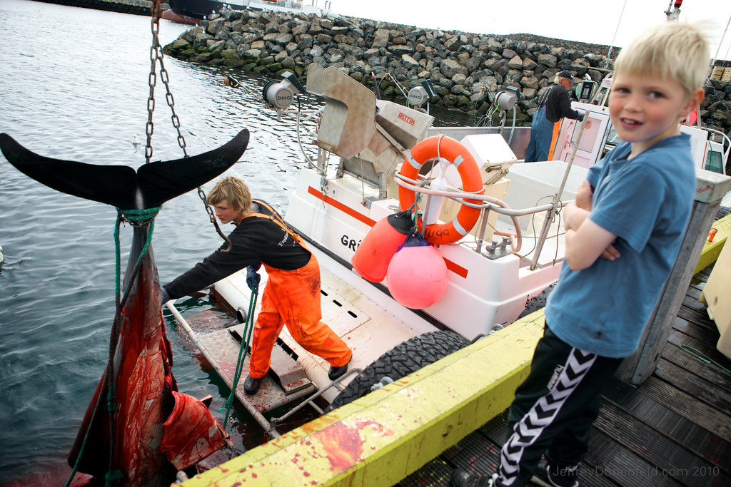
 During my recent expedition across Iceland, I had the opportunity to venture northwards towards the North Pole to the rock island outpost of Grimsey. Read about my complete Expedition Around Iceland
Grímsey is a small Icelandic island, 40 kilometres (25 mi) off the north coast of the main island of Iceland and straddling the Arctic Circle, which shifts northward by about 14.5 meters per year. In January 2011 Grímsey had 86 inhabitants.[3] Until a vote in 2009 to amalgamate with Akureyri,[4] it constituted the hreppur (municipality) of Grímseyjarhreppur, part of the county of Eyjafjarðarsýsla. The only settlement is Sandvík.[5]
ContentsGrímsey is the northernmost inhabited Icelandic territory; the islet of Kolbeinsey lies further north, but is uninhabited. The closest land is the island of Flatey, Skjálfandi, 39.4 kilometres (24.5 mi) to the south. The Arctic Circle runs through the island, while the entirety of mainland Iceland lies south of the Arctic Circle. There are steep cliffs everywhere except on the southern shoreline. Grímsey has an area of 5.3 square kilometres (2.0 sq mi), and a maximum elevation of 105 metres (344 ft).[6]
A few photos:


