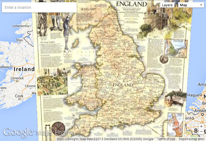
In an awesome move, National Geographic and Google Maps have teamed up to bring Nat Geo’s awesomely detailed, historical maps to the masses through Google’s tried-and-true maps engine. I already do a bunch of my travel planning with Google Maps, and being able to overlay Nat Geo maps on my trips seems like a great new feature. Maybe I’m trekking over land that has been resurveyed over the years? Coastlines moved? Ruins discovered?

From Frank Biasi, Director of Digital Development at National Geographic Maps:
What’s the most exciting thing about participating in the Google Maps Engine public data program?
Google Maps Engine lets us turn our maps into interactive full-screen images that can be panned and zoomed and overlaid with tons of great data. We are proud of our century-long cartographic tradition. The Maps Engine public data program will help get our maps out into the world where more people can enjoy and learn from them.
Here’s the widely available view of Dominican Republic – I’ll update to my own custom NatGeo map when they get back to me on the index of all National Geographic Maps available on Google Maps Engine.
