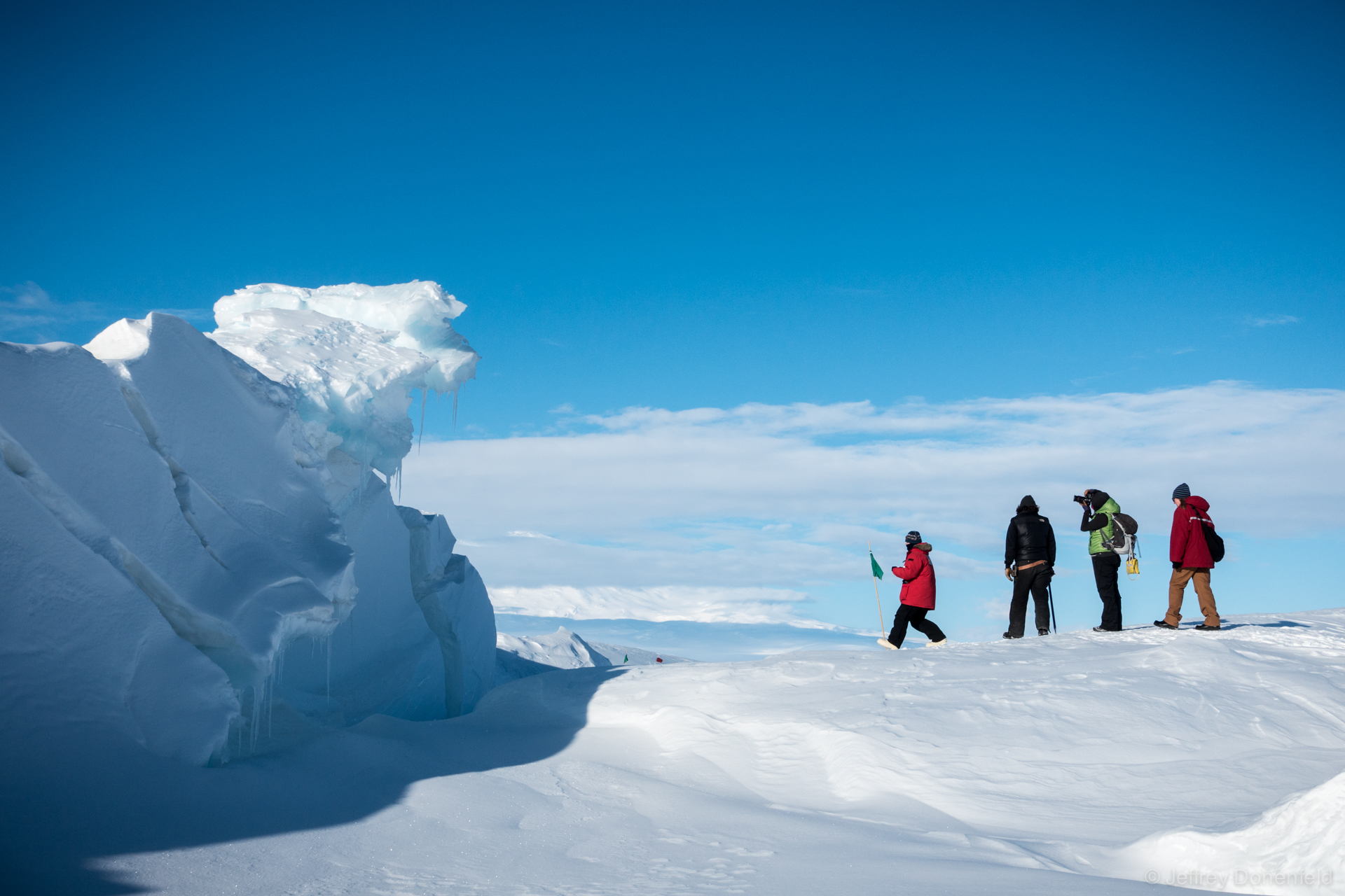
In McMurdo Sound, the McMurdo Ice Shelf cascades into the sea. pushing and squeezing the frozen sea ice against the hut point peninsula where McMurdo Station and Scott Base are located. This pushing and squeezing of the floating sea ice creates dramatic pressure ridges in the ice, which are beautiful and memorizing to explore. A few nights ago I had the opportunity to walk amongst the pressure ridges and take some pics…
From Wikipedia:
 Pressure Ridges – A pressure ridge develops in an ice cover as a result of a stress regime established within the plane of the ice. Within sea ice expanses, pressure ridges originate from the interaction between floes,[note 1] as they collide with each other.[3][4][5][6] Currents and winds are the main driving forces, but the latter are particularly effective when they have a predominant direction.[7] Pressure ridges are made up of angular ice blocks of various sizes that pile up on the floes. The part of the ridge that is above the water surface is known as the sail; that below it as the keel.[note 2] Pressure ridges are the thickest sea ice features and account for about one-half of the total sea ice volume.[2] Stamukhi are pressure ridges that are grounded and that result from the interaction between fast ice and the drifting pack ice.[8][9]
 McMurdo Sound – McMurdo Sound and its ice-clogged waters extends about 55 kilometres (34 mi) long and wide. The sound connects the Ross Sea to the north with the Ross Ice Shelf cavity to the south via Haskell Strait. The strait is largely covered by the McMurdo Ice Shelf. The Royal Society Range rises from sea level to 4,205 metres (13,796 ft) on the western shoreline. Ross Island, an historic jumping-off point for polar explorers, designates the eastern boundary. The active volcano Mt Erebus at 3,794 metres (12,448 ft) dominates Ross Island. Antarctica’s largest scientific base, the United States’ McMurdo Station, as well as the New Zealand Scott Base are located on the southern shore of the island. Less than 10 percent of McMurdo Sound’s shoreline is free of ice.[1] It is the southernmost navigable body of water in the world.[2]


